
 |
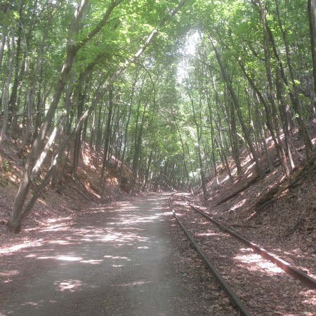
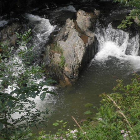
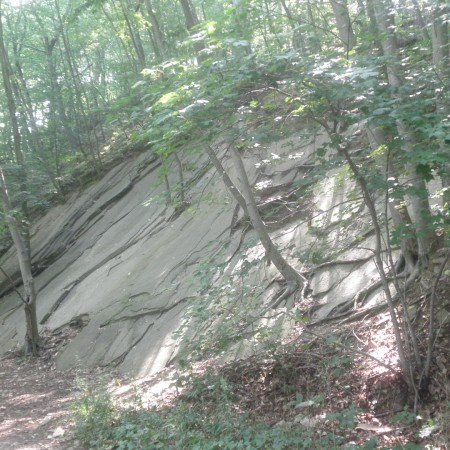
This Rail/Trail consists of finely crushed stone and packed dirt. Much of trail is in the shade beside streams.Follow the path of the railroad that Lincoln used to reach Gettysburg in 1863.
| |  Print landscape, double sided, short side flip.
|
Share link: https://my.ava.org/event-view.php?sn=129827
Click to copy link to system's cut & paste clipboard
Northern Central Rail Trail - Bike
Year Round Bike
SN: 129827 - 2026 / Y0996

From Thu, Jan 1st, 2026 to Dec 31st, 2026

Start times: Daylight hours
Hosted on the Online Start Box (OSB) only

Cockeysville, Maryland
WARNING: The map pin is for reference only and may not accurately indicate the start box location or the event start.

| Special programs Par-For-The-Course Rails-To-Trails CC: Baltimore County |
Special programs that are applicable to all events or all walks
are not shown to reduce clutter.
|
Event comments
The total distance of the bike event is 76k and is on a converted railroad bed of finely crushed stone and packed dirt. Much of trail is in the shade beside streams.

Rating: 1B, Distance: 76km
|
Restrooms: Yes |
Pets: Yes |
|
Strollers: Medium |
Wheelchairs: Hard |
Event information
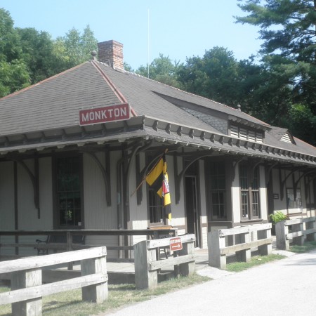
Trail greatly affected by inclement weather. Shorter distances are divided into 3 sections: Ashland 25k, Monkton 26k, and Freeland 25k. After registering you must drive to the start. Directions will be in the box. Total distance for the bike is 76 K and is on a converted railroad bed of finely crushed stone and packed dirt. Much of trail is in the shade beside streams. All participants must wear a bicycle helmet. Only bikers 12 years of age and younger may bike free, courtesy of the Baltimore Walking Club. It is recommended that bikers carry water.
Awards: IVV CREDIT ONLY

OSB - First register for the event
The detailed location of, and driving directions to, the event starting point are included in the event directions, downloaded from the Online Start Box (OSB). To plan your travels, please use the map on this page or the maps phrase below, if provided by the club. The POC does not provide event directions nor accept alternate payment methods.
Maps phrase and directions link
Click "GO" to bring up the directions on Google maps to the event starting point.
|
11200 York Rd, Cockeysville | |
The above maps phrase is only provided for planning purposes. The downloaded event directions provide detailed directions to the starting point and possible alternate start point locations. THERE IS NO PHYSICAL START BOX AT THIS LOCATION.

Baltimore Walking Club (AVA-0418)
Event website: www.baltimorewalkingclub.org

Click inside the box to send an email to the POC.