
 |
Walk along dear Deer Creek
| |  Print landscape, double sided, short side flip.
|
Share link: https://my.ava.org/event-view.php?sn=129835
Click to copy link to system's cut & paste clipboard
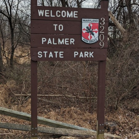
Palmer State Park
Year Round Walk
SN: 129835 - 2026 / Y3154

From Thu, Jan 1st, 2026 to Dec 31st, 2026

Start times: Dawn to Dusk
Hosted on the Online Start Box (OSB) only

Street, Maryland
WARNING: The map pin is for reference only and may not accurately indicate the start box location or the event start.

| Special programs None provided CC: Harford County |
Special programs that are applicable to all events or all walks
are not shown to reduce clutter.
|
Event comments
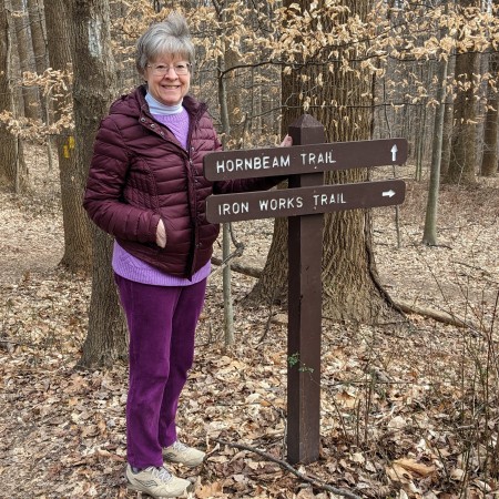
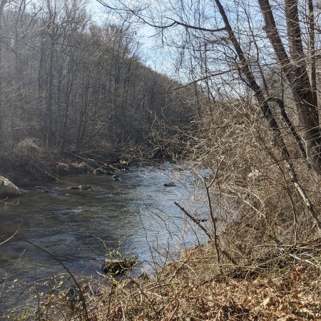
Palmer State Park (PSP) is a 550-acre tract within the Deer Creek watershed. Deer Creek flows thru PSP for approximately two miles. The trail is natural surface. Elevations within PSP range from 120 feet to 400 feet above mean sea level. Slopes within PSP vary from level to quite steep (zero to 45 degrees). Nature enthusiasts can enjoy the native flora and fauna as they hike throughout a forest composed of tulip poplar, beech, hickory, and red, white, and black oak, and more. Rated 2C because of the rugged terrain; the trail is NOT recommended for wheelchairs and strollers.

Rating: 2C, Distance: 5, 9, 10km
|
Restrooms: No |
Pets: Yes |
|
Strollers: No |
Wheelchairs: No |
Event information
Only walkers 12 years old and younger walk free, courtesy of the Baltimore Walking Club. Restrooms are not available at the park. Wawa (3530 Conowingo Rd) and Royal Farms (3603 Conowingo Rd) are located nearby, and have restrooms. The trails are natural surface. Walkers are encouraged to carry water.
Awards: IVV CREDIT ONLY

OSB - First register for the event
The detailed location of, and driving directions to, the event starting point are included in the event directions, downloaded from the Online Start Box (OSB). To plan your travels, please use the map on this page or the maps phrase below, if provided by the club. The POC does not provide event directions nor accept alternate payment methods.
Maps phrase and directions link
Click "GO" to bring up the directions on Google maps to the event starting point.
|
3209 Forge Hill Road, Street, MD | |
The above maps phrase is only provided for planning purposes. The downloaded event directions provide detailed directions to the starting point and possible alternate start point locations. THERE IS NO PHYSICAL START BOX AT THIS LOCATION.

Baltimore Walking Club (AVA-0418)
Event website: www.baltimorewalkingclub.org

Click inside the box to send an email to the POC.